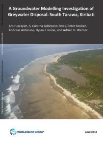
The primary objective of this study is to investigate the feasibility of greywater reuse in South Tarawa and to assess the potential benefits and threats to the underlying groundwater systems. The initial part of this investigation sought to collect field data to support the development of conceptual hydrogeological models, which were subsequently used to set up numerical groundwater flow models. 2D (cross-sectional) numerical models of selected transects of Betio, Bairki and Bikenibeu Islands were developed using the USGS software SEAWAT, which simulates density-coupled groundwater flow and solute transport, and allows for the modelling of multiple species (i.e., saltwater and greywater). Models were developed for calibration and validation against existing groundwater salinity measurements, and eight simulations were used to assess greywater transport.

